Cape Flattery is the northwest corner of the Lower 48, and the walk there is only 1.5 miles
Most people chase the edge of Washington at a beach. The real edge is a boardwalk through the spruce that ends on a cliff, with nothing between you and the horizon but ocean and one stubborn island.
Cape Flattery is the northwesternmost point of the contiguous United States, and getting to it is 1.5 miles round trip with about 200 feet of climbing. Easy, wet, and wildly worth the long drive.
Psst, we made you a West Coast Adventure Map. Nearly 1,900 of our favorite spots, already pinned, ready to load into Google Maps in two clicks: grab it here.
What the walk is actually like
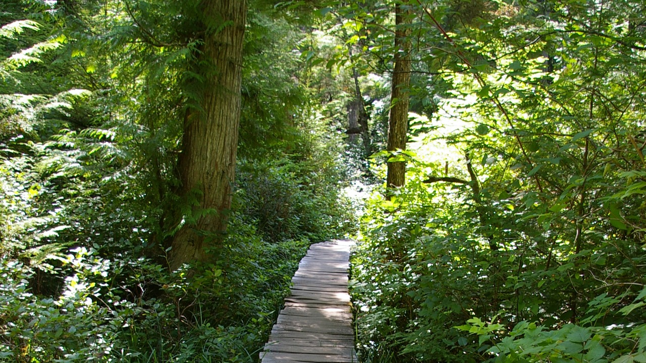
The trail starts as wide gravel, then turns to boardwalk over the boggy stretches, with a few rooty sections in between. It’s rated easy, and that’s fair. Shoes with real tread are still worth it, because the forest floor here stays damp.
The wind picks up as you get closer to the point, so bring a layer you can zip. Stay on the trail and behind the railings, since the cliffs drop away fast.
📍 GET THE ULTIMATE PNW MAP 🗺️
Get our curated list of the best adventures, things to do, and places to grab a brew loaded onto your maps with just two clicks!
✅ Waterfalls ✅ Hikes ✅ Viewpoints
✅ Craft breweries ✅ National Parks ✅ 1400+ Pins


Three viewpoints, three different moods
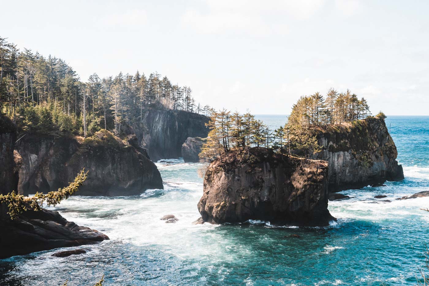
Near the end of the trail you get three viewing spots, and each one gives you something different. The first looks straight down the sheer south side of the point. The second has an upper deck facing north and a lower level that overlooks sea caves.
The third platform is the one everyone lingers on. It faces Tatoosh Island and its lighthouse, with the Cape Flattery reef to the north and Kessiso Rocks to the south. Keep an eye on the water too, since seabirds, otters, and whales are all regular sights in the surf.
The name is a little ironic
Captain James Cook named this point in March 1778. He had spotted a small opening in the coast that raised his hopes of finding a harbor, so he called the headland Cape Flattery. The harbor never materialized, but the name stuck.
Getting there and the pass you need
Cape Flattery sits on the Makah Reservation, so you need a Makah Recreation Pass before you go. It runs about $20 and is good for a year. You can buy one in person in Neah Bay or online at makah.com, and it also covers Shi Shi Beach.
From Port Angeles, you follow Highway 112 west to Neah Bay, then continue out Cape Flattery Road to the trailhead lot. There’s a pit toilet but no water, so fill your bottle before you leave town. It’s a long drive, so plan on a full-day outing.
Turn it into a full Olympic Peninsula day
If you’re building a bigger trip, our guide to the best Olympic National Park beaches is a good next stop for more of this coastline. Basing yourself in town? We’ve got guides to the best things to do in Port Angeles and things to do in Forks.
Where does your own edge-of-the-map trip end? Tell us your favorite far-corner spot in the comments.
Trip tips: grab a rental car to get out here, lock in your hotel before the good rooms are gone, or skip both and book a camper van instead.
Rules and fees change, so always confirm current requirements before you go.