You can walk to the edge of the continental U.S. from a parking lot in Washington
Most “edge of the country” claims are marketing. This one isn’t — Cape Flattery is the actual northwesternmost point of the contiguous United States, sitting at the very tip of the Olympic Peninsula past the last town before the road simply stops.
The drive takes half a day. The trail itself takes twenty minutes. That’s a lot of car time for not much walking — and it’s worth every mile anyway.
Why the drive outlasts the hike
Cape Flattery sits on the Makah Reservation past Neah Bay, about as far from Seattle as Washington gets without a boat. Figure roughly three and a half hours from Seattle, mostly on Highway 101 through Port Angeles before Route 112 hugs the Strait of Juan de Fuca the rest of the way in.
From Port Angeles alone, it’s still about two hours. There’s no shortcut through this stretch of the peninsula — the roads just don’t do shortcuts out here.
📍 GET THE ULTIMATE PNW MAP 🗺️
Get our curated list of the best adventures, things to do, and places to grab a brew loaded onto your maps with just two clicks!
✅ Waterfalls ✅ Hikes ✅ Viewpoints
✅ Craft breweries ✅ National Parks ✅ 1400+ Pins


The trail itself is almost anticlimactic
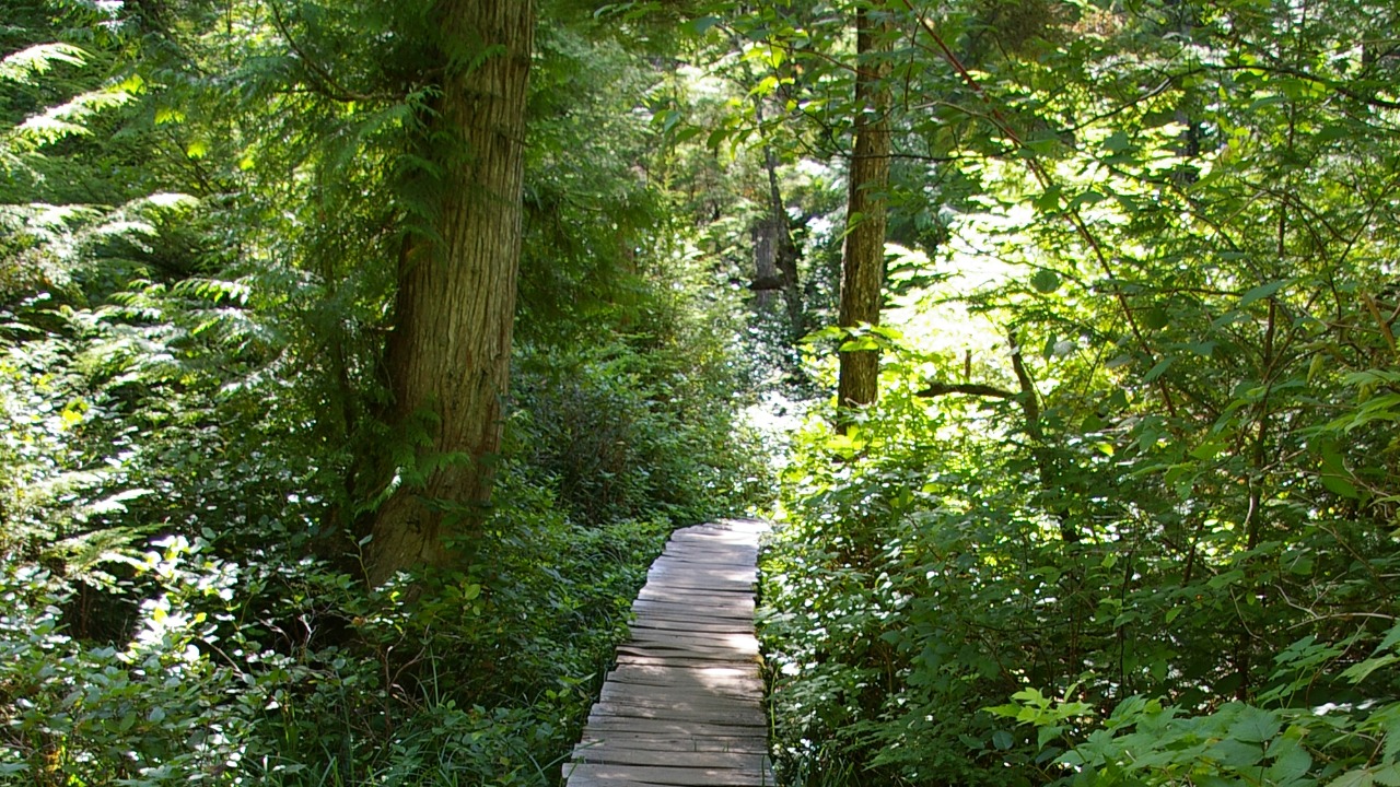
Cape Flattery Trail runs about 1.3 miles round trip with roughly 232 feet of elevation gain, rated easy, and takes most people somewhere between thirty minutes and an hour. Boardwalks cover the muddiest stretches through old-growth forest before spitting you out at a series of cliffside viewing platforms.
After three-plus hours in the car, it barely counts as exercise. The platforms sit right at the cliff’s edge, so keep a hand on any kids and give the railings some respect.
What’s actually waiting at the edge
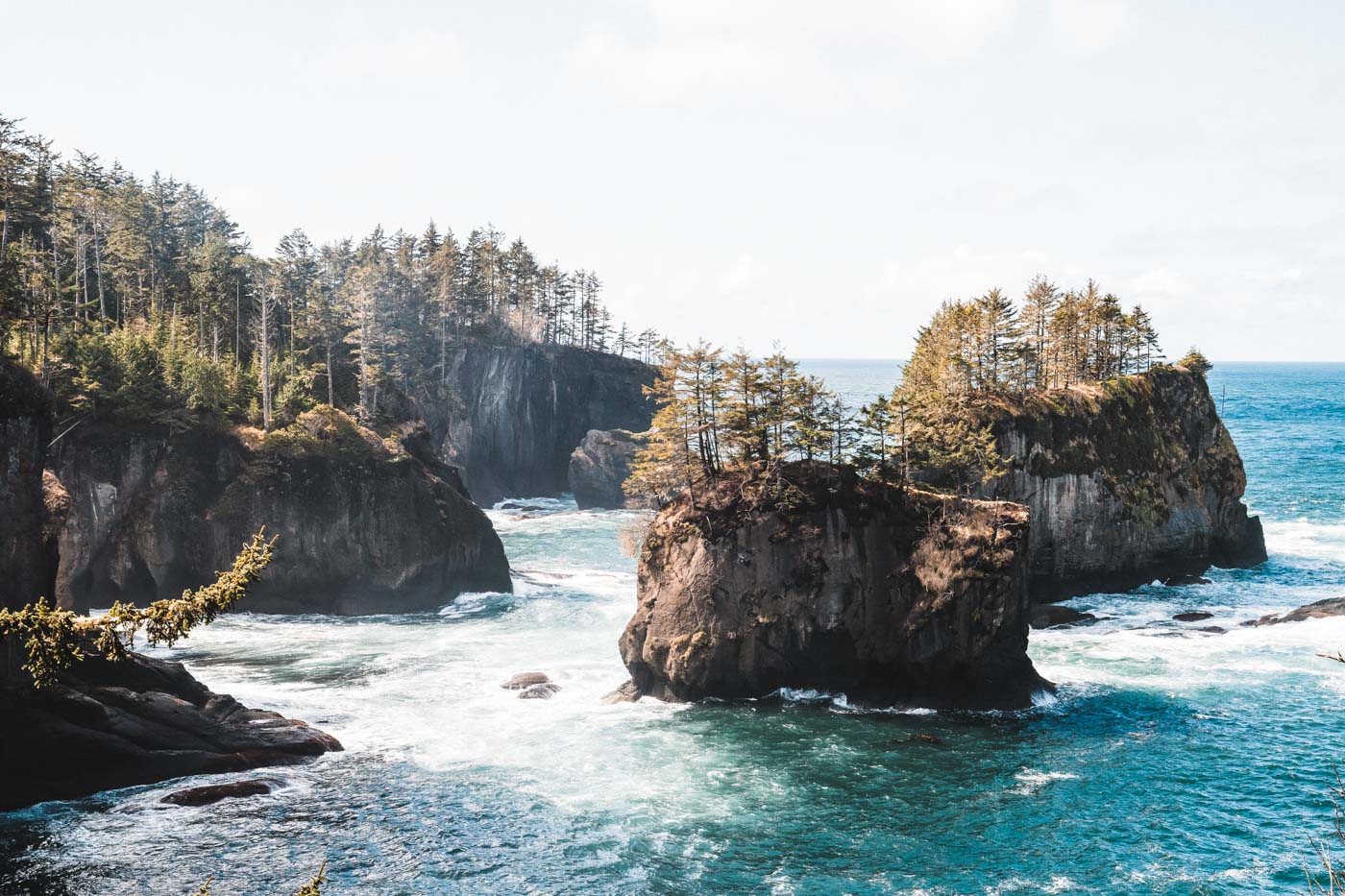
The viewing platforms look straight down into sea caves carved into the cliffs — some open wide to the ocean, others tucked into narrow folds in the rock you’d never spot from a boat. It’s the kind of coastline that makes the whole drive make sense in about thirty seconds.
Just offshore sits Tatoosh Island, once a Makah fishing and whaling camp and home to a lighthouse built in 1857 — before the Civil War, before Washington was even a state. The original light was decommissioned in 2008 and replaced with a solar-powered beacon, and the island itself is off-limits to visitors, so this view is as close as anyone gets.
The wildlife doesn’t punch a summer clock
Gray whale migration peaks in March and April, so if whales are the whole reason you’re going, plan around spring rather than summer. Sea lions haul out on the rocks below and seabirds work the cliffside updrafts pretty much year-round, no calendar required.
Before you go
You’ll need a Makah Recreation Permit — $20 per vehicle, good for the full calendar year — since Cape Flattery sits entirely on Makah tribal land. Buy it online at makah.com, at the Makah Museum, or at the permit booth near the trailhead itself, and display it on your dash.
Neah Bay itself is worth a slow afternoon — the Makah Cultural and Research Center houses artifacts from the Ozette archaeological site, one of the most significant finds in North America. If you’re building a bigger Olympic Peninsula loop, Port Angeles makes the obvious stopover on the way in, and Cape Flattery pairs naturally with the rest of the peninsula’s wild coastal beaches.
Three and a half hours out, twenty minutes on foot, and then you’re standing at the edge of the map. Worth it?
Trip tips: grab a rental car for the long drive out, lock in your hotel in Port Angeles or Neah Bay before the good rooms are gone, or skip both and book a camper van instead.
Rules and fees change — always confirm current requirements before you go.