

Washington’s rainiest forest gets 140 inches of rain a year, and you can still see it on a 20-minute walk
Washington gets a reputation for rain, and the Hoh Rain Forest is where that reputation comes from — it averages about 140 inches of it a year, more than most of the state sees in five.
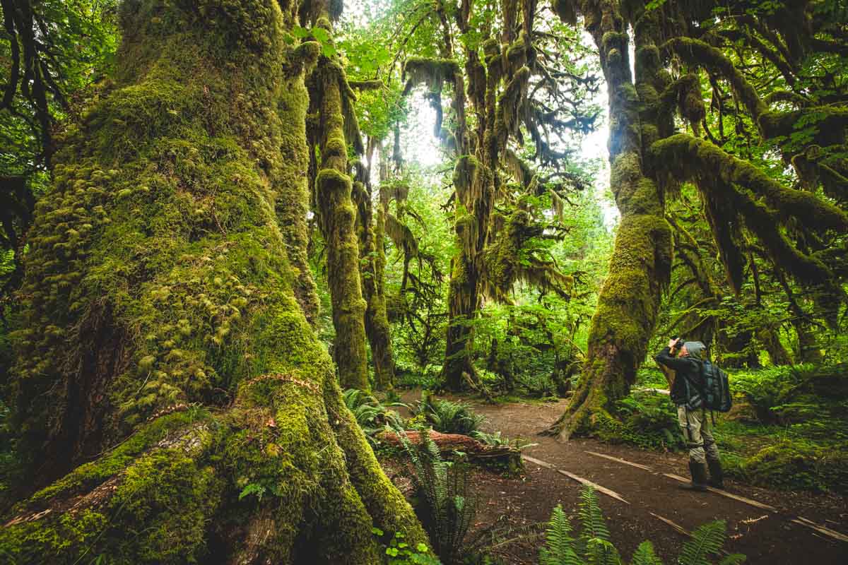
All that water built one of the finest remaining stretches of temperate rainforest left in the country: maples draped in club moss, spruce trees the size of grain silos, a valley floor that stays green through August. It’s one of the highlights on our guide to Olympic National Park’s best hikes, but it earns a closer look of its own.
Hall of Mosses (1.1 miles, easy)
Start here. The loop runs 1.1 miles with next to no elevation gain, winding through old-growth forest where club moss hangs off the maples in curtains thick enough to block the sky.
It leaves right from the Hoh Rain Forest Visitor Center, so there’s no extra driving once you’ve paid to get in — good for anyone traveling with kids or short on time.
📍 GET THE ULTIMATE PNW MAP 🗺️
Get our curated list of the best adventures, things to do, and places to grab a brew loaded onto your maps with just two clicks!
✅ Waterfalls ✅ Hikes ✅ Viewpoints
✅ Craft breweries ✅ National Parks ✅ 1400+ Pins


Spruce Nature Trail (1.4 miles, easy)
This one runs 1.4 miles with about 16 feet of elevation gain — flat enough that the number barely matters. It follows Taft Creek and the edge of the Hoh River past nurse logs at every stage of decay, some just fallen, some already growing a new line of trees out of their spine.
It’s the quieter of the two loops near the visitor center, and honestly the better one — fewer people, same forest.
Hoh River Trail to Mineral Creek Falls (5.6 miles round trip, moderate)
Keep going past the two loops and you’re on the Hoh River Trail proper, an out-and-back that follows the river as far as you want to take it. The turnaround at Mineral Creek Falls runs 5.6 miles round trip with about 213 feet of gain, ending at a 60-foot cascade.
The trail stays mostly flat and river-level the whole way, though expect mud and the occasional downed tree — this is rainforest, after all.
Hoh River Trail to Five Mile Island (10.1 miles round trip, hard — earn it)
Push another 2.3 miles past the falls and you’ll hit Five Mile Island, a popular backcountry campsite along the river. Round trip, it’s 10.1 miles with 367 feet of elevation gain — a full day for most people, not a quick add-on.
How far is far enough? Day hikers thin out fast past Mineral Creek Falls, so this is where the Hoh actually empties out. Keep going from here and the same trail leads, eventually, all the way to Glacier Meadows and the Blue Glacier moraine 18.5 miles out — but that’s an overnight trip, and it needs a wilderness permit.
Before you go
The Hoh sits off Upper Hoh Road, about two hours from Port Angeles and under an hour from Forks — worth the stop if you’re already checking out things to do in Forks. Entrance runs $30 per vehicle for a 7-day pass, or use an America the Beautiful Pass if you’re hitting more than one national park this trip.
Parking fills up fast in summer. The park recommends arriving before 8 am or after 5 pm — otherwise you’re looking at up to a two-hour wait at the entrance station. Leave the dog at home, too; pets aren’t allowed on any trail in the Hoh.
Want to stay the night without leaving? Hoh Campground sits right along the river, though reservations are required from mid-June through early September.
Trip tips: grab a rental car to get out here, lock in a hotel in Forks before the good rooms are gone, or skip both and book a camper van instead.
Rules and fees change — always confirm current requirements before you go.