The road to Artist Point just reopened at 5,140 feet — and the loop trail underneath it only just melted out
The road to Artist Point tops out at 5,140 feet, and Washington State Department of Transportation didn’t get cars up there this year until June 10 — crews had to dig out roughly 20 feet of snow just to clear the parking lot. Even after the road opens, the trail waiting at the top stays buried well into summer. Chain Lakes Loop, the signature hike from Artist Point, typically doesn’t go fully snow-free until late July, which means the window you’re reading this in is about as good as it gets.
Psst — we made you a West Coast Adventure Map. Nearly 1,900 of our favorite spots, already pinned, ready to load into Google Maps in two clicks — grab it here.
Why this stretch of highway takes so long to clear
Mount Baker sits in one of the snowiest corners of the Cascades, and Artist Point is the literal end of the line for State Route 542 — the last, highest stretch WSDOT plows each spring. Once it’s open, the parking lot becomes the trailhead for four routes: Chain Lakes, Table Mountain, Ptarmigan Ridge, and Artist Ridge.
📍 GET THE ULTIMATE PNW MAP 🗺️
Get our curated list of the best adventures, things to do, and places to grab a brew loaded onto your maps with just two clicks!
✅ Waterfalls ✅ Hikes ✅ Viewpoints
✅ Craft breweries ✅ National Parks ✅ 1400+ Pins


Chain Lakes Loop is the one worth planning around
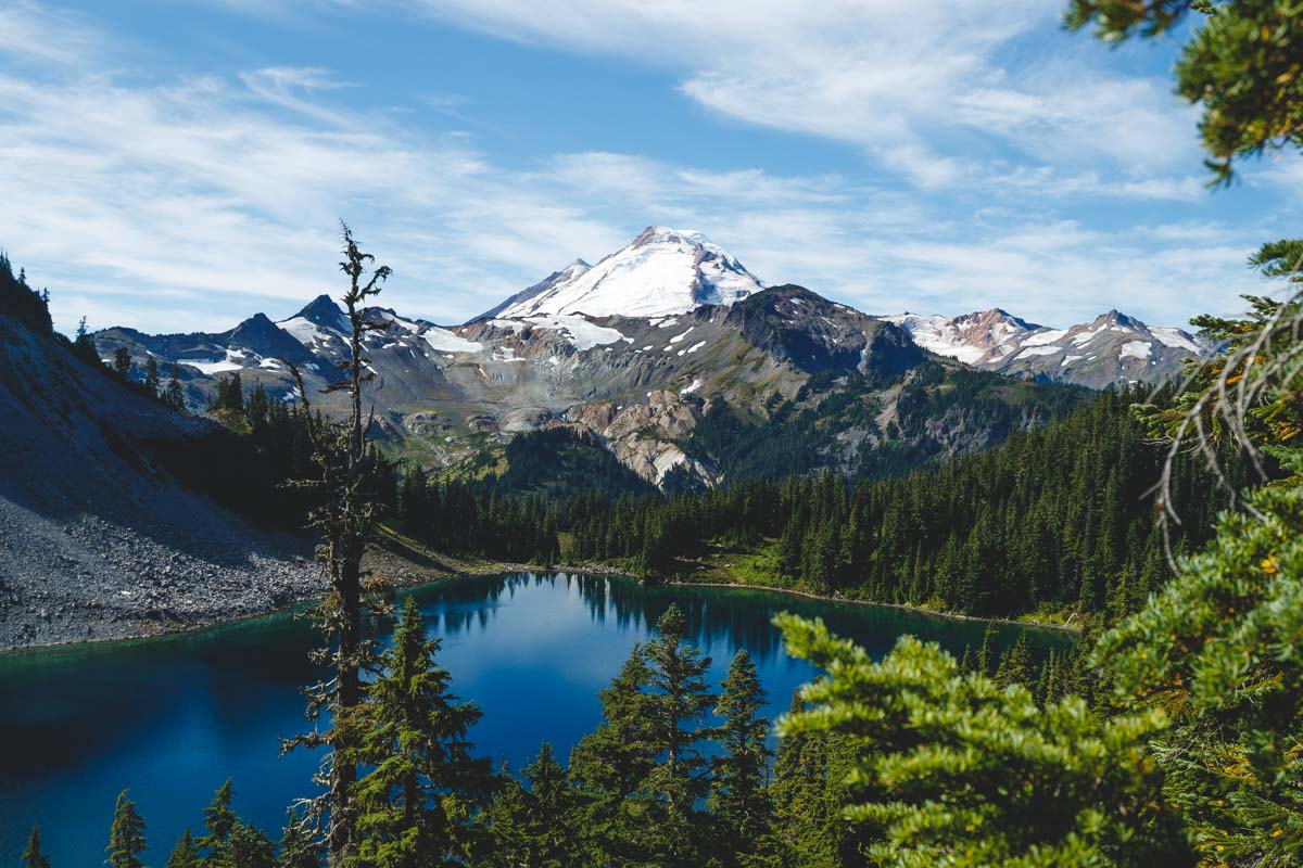
The loop runs 6.2 miles with about 1,791 feet of elevation gain, and most hikers take four to four and a half hours to finish it. You circle Table Mountain the entire way, with Mount Baker on one side and Mount Shuksan on the other — genuinely one of those views that looks fake in photos.
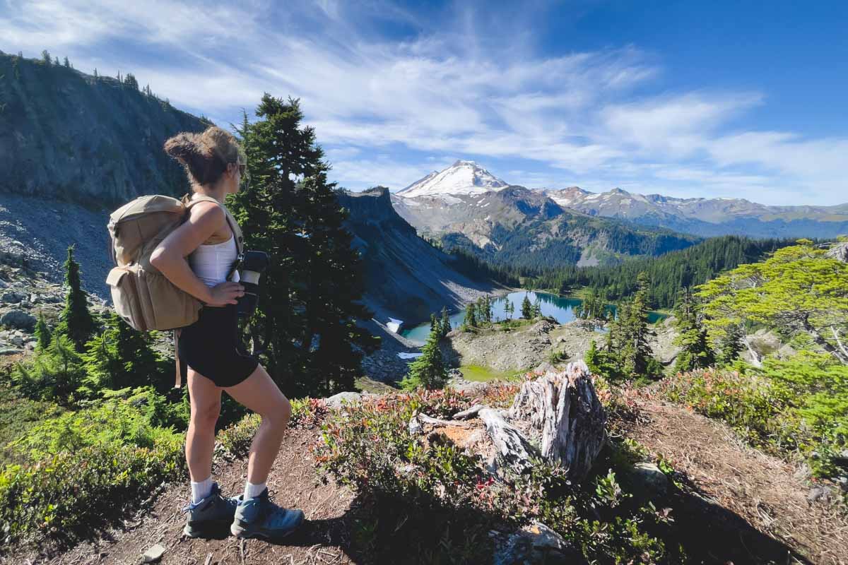
About halfway around, the trail drops into a basin holding three lakes back to back: Mazama, Iceberg, and Hayes. It’s rated moderate, but don’t let that undersell it — that elevation change is real, and a lot of it comes in short, punchy sections rather than a steady grade.
Shorter and longer options if Chain Lakes doesn’t fit your day
Table Mountain is the short version — 2.8 miles round trip — but it crams 711 feet of climbing into steep, exposed switchbacks practically right off the parking lot, so it earns its hard rating despite the short distance. Lake Ann goes the opposite direction at 8.7 miles round trip and about 2,047 feet of gain, dropping through a meadow before climbing back up to a lake sitting right under Mount Shuksan’s glaciers. Our full Chain Lakes Loop guide breaks down the whole route mile by mile if you want it before you go.
What to know before you drive up
Artist Point sits inside Mount Baker-Snoqualmie National Forest, so you’ll need a Northwest Forest Pass to park there, not a Discover Pass. Trail edges can hold snow patches into August even after the main loop clears, so microspikes are worth tossing in the car if you’re heading up early in the window.
Trip tips: grab a rental car to get out here, lock in your hotel before the good rooms are gone, or skip both and book a camper van instead.
Rules and fees change — always confirm current requirements before you go.