The guns at Fort Ebey on Whidbey Island never fired at an enemy, and you can still explore the bunker
Two big guns once pointed out over the water from a bluff on Whidbey Island, ready for an enemy that never showed up. They never fired at one, and the concrete bunker that held them is still here for you to poke around in.
Fort Ebey State Park packs that history in with a forest loop, a glacial kettle lake, and a bluff where paragliders hang in the wind. Ready to see what a World War II lookout looks like from the inside?
Psst, we made you a West Coast Adventure Map. Nearly 1,900 of our favorite spots, already pinned, ready to load into Google Maps in two clicks: grab it here.
What the fort was built to do
Battery 248 was the fort’s only defense, with two six-inch guns built to hit moving targets up to 15 miles away. Each could fire a 108-pound shell every 12 seconds, which sounds terrifying until you learn nobody ever aimed them at anyone.
After the war, the guns were scrapped and the coastal forts became obsolete. The site did have a few tricks other Puget Sound defenses didn’t, including radar and camouflage to hide it from the air.
The park takes its name from Isaac Neff Ebey, an early Whidbey Island homesteader. The state acquired the land in 1965, and the park was dedicated in 1981.
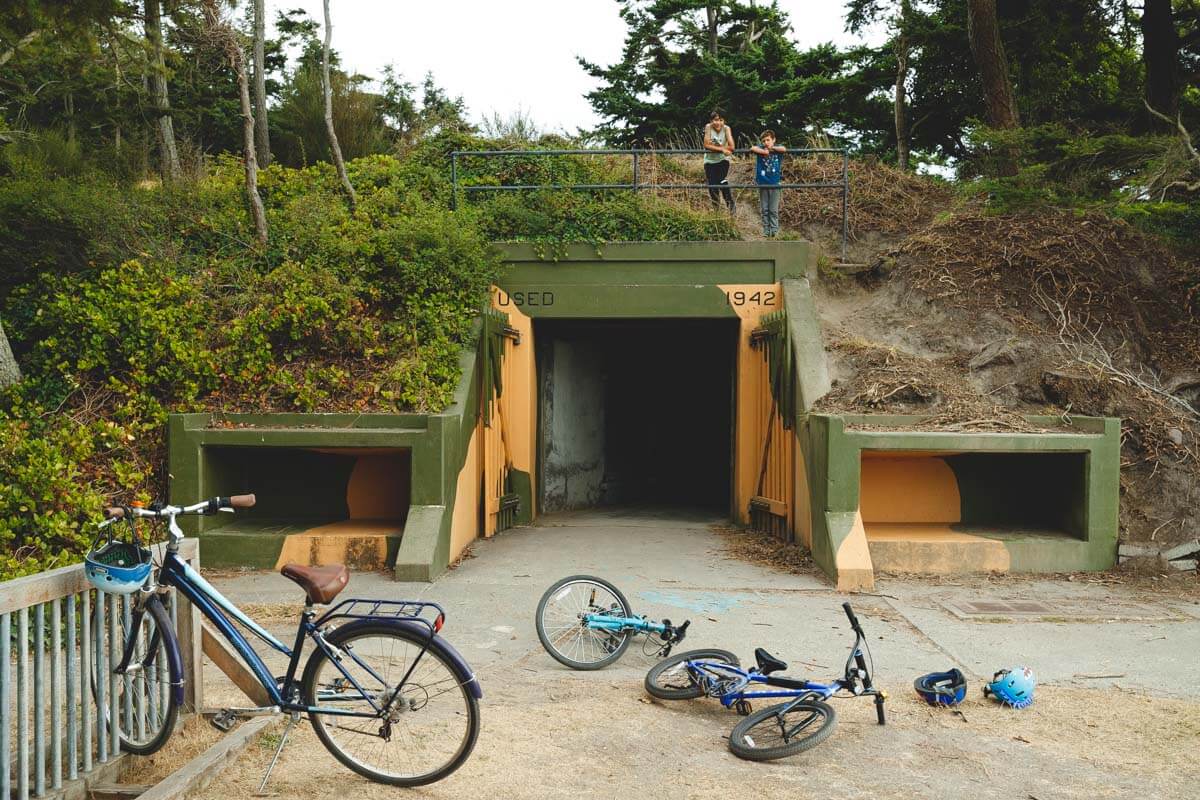
Here’s my one firm opinion: the bunkers are the main event, so bring a flashlight and actually go in. Wandering through concrete that was built to hide guns from the sky beats any plaque you could read.
📍 GET THE ULTIMATE PNW MAP 🗺️
Get our curated list of the best adventures, things to do, and places to grab a brew loaded onto your maps with just two clicks!
✅ Waterfalls ✅ Hikes ✅ Viewpoints
✅ Craft breweries ✅ National Parks ✅ 1400+ Pins


The 4-mile loop that ties it together
The classic loop is about 4 miles round trip with roughly 520 feet of climbing, which makes it an easy to moderate walk. It starts at the north parking lot and strings together the Bluff Trail, Cedar Hollow Trail, and a few forest ridge paths.
The Bluff Trail follows the edge south with beach and Olympic Mountain views. Then the route drops into a forested ravine of Douglas fir and hemlock, a nice contrast after all that open sky.

That bluff is also a popular paragliding area, so look up before you look down. The park has roughly 25 miles of trails in all if 4 miles isn’t enough for you.
Lake Pondilla and the beach
Lake Pondilla fills a kettle at the north end of the park, a depression left when buried glacial ice melted. It’s a small lake of under 4 acres, and a quiet spot to sit after the bunkers.
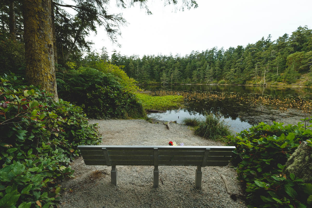
The park spans 651 acres with about 3 miles of saltwater shoreline. You can walk the beach roughly 2 miles south toward Ebey’s Landing, but only at low tide, so check a tide table first.
Before you go
The park is open from 8 a.m. to dusk year round, and parking takes a Discover Pass. Dogs are welcome on a leash.
Admire the old water tower base from a distance, since its timbers are rotting. Cell service can be unreliable out here, so save your directions before you leave.
Want more to fill out the day? Our guide to things to do on Whidbey Island has plenty. So which will you explore first, the bunker or the bluff?
Trip tips: grab a rental car to get out here, lock in your hotel before the good rooms are gone, or skip both and book a camper van instead.
Rules and fees change, so always confirm current requirements before you go.