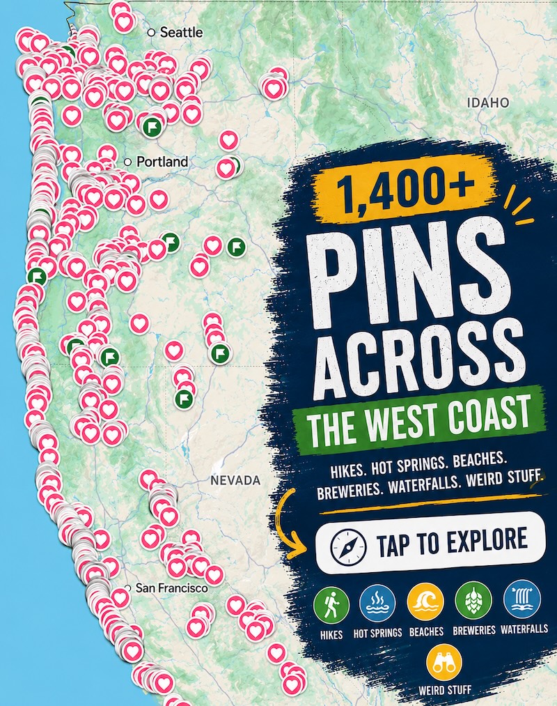
Cap Sante is a 37-acre headland in Anacortes, and the lookout at the top is an easy drive
Most people see Anacortes through a windshield, stuck in the San Juan ferry line. Park somewhere better instead: the best view in town is a city park on a forested headland.
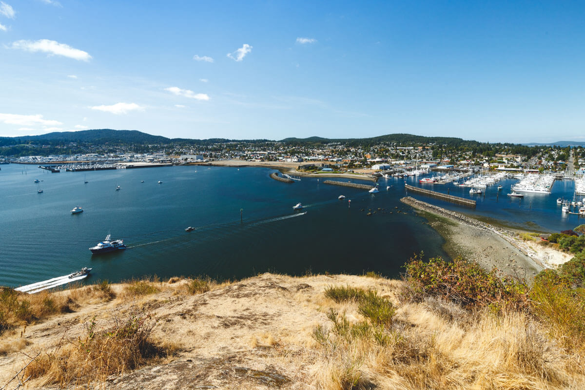
Cap Sante covers 37 acres at the northeast corner of Anacortes. From the top you look down on the marina, downtown, and Fidalgo Bay, with the Cascades behind it all.
Psst, we made you a West Coast Adventure Map. Nearly 1,900 of our favorite spots, already pinned, ready to load into Google Maps in two clicks: grab it here.
What you’re looking at
Cap Sante is a rocky, forested headland that juts out into Fidalgo Bay. The viewpoint takes in the marina, March Point, the bay, and the Cascades, and Mount Baker shows up on clear days.
The name is French for “Cape Health.” Anne Curtis Bowman, the wife of an early Fidalgo Island settler, gave it that name in 1877, and Anacortes itself is an adaptation of her name.
📍 GET THE ULTIMATE PNW MAP 🗺️
Get our curated list of the best adventures, things to do, and places to grab a brew loaded onto your maps with just two clicks!
✅ Waterfalls ✅ Hikes ✅ Viewpoints
✅ Craft breweries ✅ National Parks ✅ 1400+ Pins


Drive up or walk up
It’s an easy drive to the lookout at the tip of the cape. That makes this a good stop if you’re short on time or someone in your group doesn’t want a climb.
If you’d rather earn it, a trail heads into the forest from near the top, and the high point has views to the west, south, and east. Down by the water, the Rotary Park Trail passes big madrone trees and ends at a viewpoint with picnic tables, two of them under a covered pergola.
Keep an eye out for deer. They wander all over Anacortes, through yards and across streets, so you’re quite likely to meet one here. Leave the snacks in your pocket, since the deer find plenty to eat on their own.
My one firm opinion: do Cap Sante first. Once you’ve seen the whole waterfront laid out below you, the flat walks that follow make a lot more sense.
Flat walk one: Guemes Channel Trail
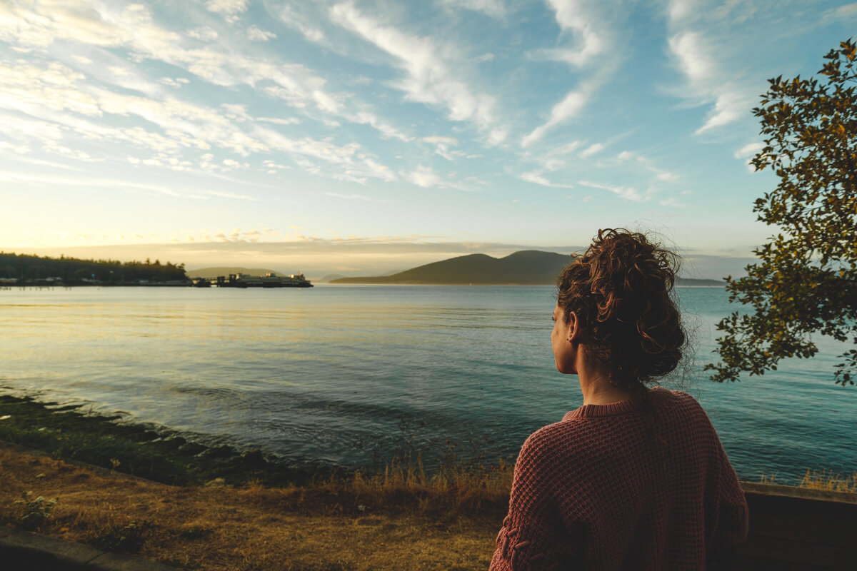
Not in the mood for hills? The Guemes Channel Trail is a paved path on an old rail bed, running right along the water. Plan on a little over a mile each way, with views across the channel to Guemes and Cypress Islands.
Big ferries cross this channel between Anacortes and the San Juan Islands, so the scenery keeps moving. Park in the cul-de-sac at the end of Ship Harbor Boulevard, where no parking pass is needed. Spaces are limited, so aim for a quieter hour.
That same cul-de-sac is the start of the Ship Harbor Interpretive Preserve, a short wetland walk with boardwalks and beach access. It’s an easy add-on if you want to stretch the outing.
Flat walk two: Tommy Thompson Trail
Want something longer? The Tommy Thompson Trail follows an old railroad route for 3.3 miles. It starts at 11th Street and Q Avenue near the Port of Anacortes, and there’s a trailhead right at Cap Sante Marina.
Part of the route crosses Fidalgo Bay on a former railroad trestle. Look for Mount Baker on clear days and blue herons when the tide is low.
Want more to do on the island? Our guide to things to do on Whidbey and Fidalgo Island covers the rest, and Deception Pass State Park is the big name nearby. Which are you picking first: the lookout, the channel, or the trestle?
Trip tips: grab a rental car to get out here, or lock in your hotel before the good rooms are gone.
Rules and fees change, so always confirm current requirements before you go.