Washington’s most-visited state park sits above tidal currents that can hit 8 knots, and almost everyone just drives right over them
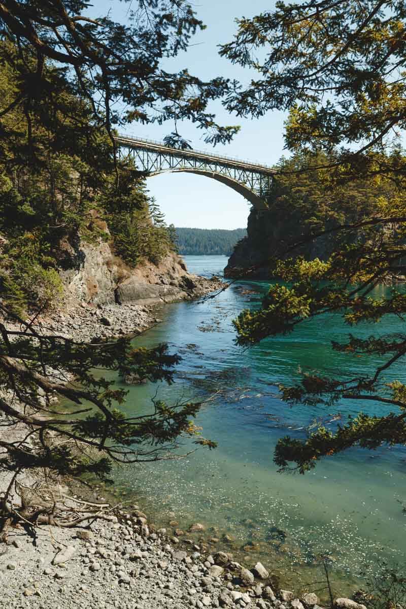
Everyone stops at Deception Pass for the bridge. Almost nobody stops for what’s under it: a saltwater channel where the tide can rip through at more than 8 knots, fast enough to swallow small boats and strong enough that park rangers won’t cross it themselves above 3.5 knots. That’s the real story here, and it’s a five-minute walk from the parking lot.
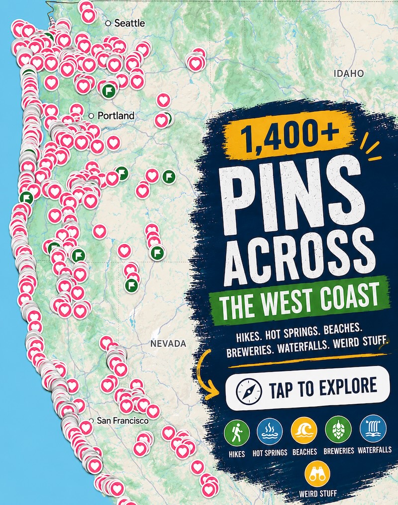
Psst — we made you a West Coast Adventure Map. Nearly 1,900 of our favorite spots, already pinned, ready to load into Google Maps in two clicks — grab it here.
The pass earned its name honestly
British explorer George Vancouver named this stretch of water in 1792, after his navigator Joseph Whidbey realized what looked like a bay was actually a channel splitting one island into two. The water had deceived them — hence the name, and hence Whidbey Island getting its own spot on the map.
The bridge over that channel has been standing since July 1935, built as a Depression-era public works project connecting Whidbey Island to Fidalgo Island by way of tiny Pass Island in between. It’s one of the most photographed spots in the state, and honestly, the currents underneath only make it better.
📍 GET THE ULTIMATE PNW MAP 🗺️
Get our curated list of the best adventures, things to do, and places to grab a brew loaded onto your maps with just two clicks!
✅ Waterfalls ✅ Hikes ✅ Viewpoints
✅ Craft breweries ✅ National Parks ✅ 1400+ Pins


Two hikes that actually get you off the bridge
Goose Rock is the park’s high point, and the short version — the Goose Rock Summit Trail — runs 1.1 miles round trip with about 308 feet of climbing. Want more? The loop through Cranberry Lake and North Beach stretches that to 6.4 miles and 816 feet of gain, with better views of the bridge from above.
On the Fidalgo side, Rosario Head Trail is an easy 1.3 miles with roughly 200 feet of elevation gain, tide pools included. Keep walking and it connects to Lighthouse Point and Lottie Point for a 4.9-mile round trip with sweeping views back toward the bridge.
Skip the current, swim the lake instead
The strait itself is not the place to swim — those currents don’t care how strong a swimmer you are. Cranberry Lake, inside the park, has a roped-off freshwater swimming area instead, plus a boat launch and a campground right on the shore.
A Discover Pass is required to park anywhere in Deception Pass State Park — grab one here if you don’t already have one. For the rest of what the park has to offer — more beaches, more camping, more trails — our full Deception Pass guide has the rundown.
Trip tips: grab a rental car to get out here, lock in your hotel before the good rooms are gone, or skip both and book a camper van instead.
Rules and fees change — always confirm current requirements before you go.