The biggest waterfall that ever existed sits dry in central Washington, and its visitor center is closed
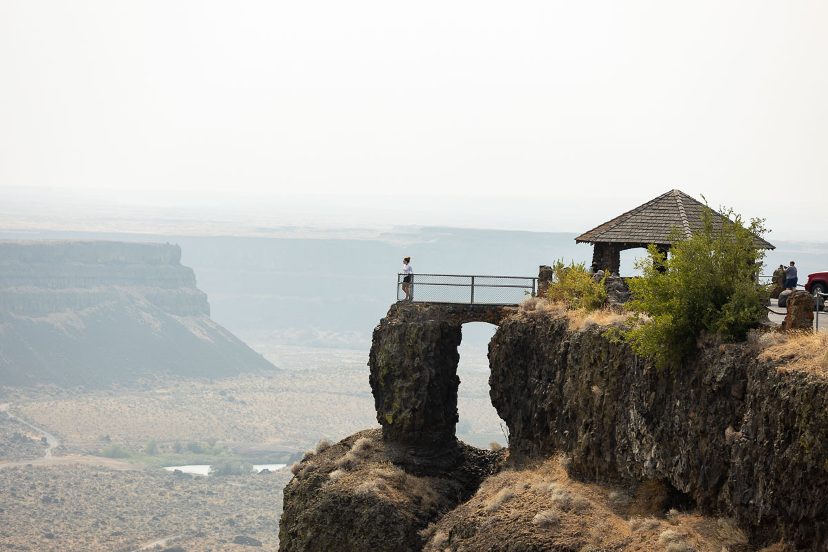
Nothing has poured over Dry Falls in roughly 13,000 years, and it’s still one of the most jaw-dropping things you can drive up to in Washington. The cliff runs 400 feet tall and stretches 3.5 miles across a desert canyon — the lip of what used to be the largest waterfall this planet has ever produced.
It ran during the Ice Age floods, when a collapsing ice dam in Montana sent a wall of water roughly ten times the combined flow of every river on Earth tearing across eastern Washington. Then the river rerouted, and the falls went silent for good.
Psst — we made you a West Coast Adventure Map. Nearly 1,900 of our favorite spots, already pinned, ready to load into Google Maps in two clicks — grab it here.
A canyon bigger than the waterfall that carved it
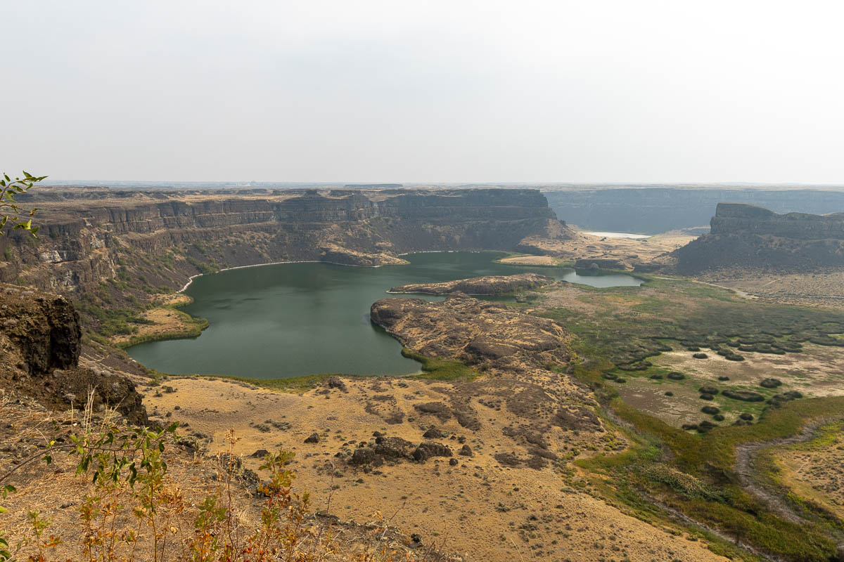
What’s left is Sun Lakes-Dry Falls State Park, a 4,000-acre stretch of high desert wrapped around the dry cataract and the spring-fed lakes pooled at its base. Dark basalt walls drop straight to a canyon floor littered with boulders the floods hauled in from miles upstream.
Some of those boulders weigh hundreds of tons. Stand at the rim and you’re not looking at a waterfall — you’re looking at an entire river system, abandoned mid-collapse.
📍 GET THE ULTIMATE PNW MAP 🗺️
Get our curated list of the best adventures, things to do, and places to grab a brew loaded onto your maps with just two clicks!
✅ Waterfalls ✅ Hikes ✅ Viewpoints
✅ Craft breweries ✅ National Parks ✅ 1400+ Pins


The visitor center just went dark for the rest of 2026
Washington State Parks closed the Dry Falls Visitor Center on April 1, 2026, for a $2.3 million renovation that won’t wrap until December 31. The building dates to 1965, and the project covers new HVAC and electrical, a wheelchair lift, restored exterior stucco, and upgraded ADA parking and restrooms.
The overlook, parking lot, and restrooms are closed along with it. State Parks is running pop-up interpretive programming in the meantime, plus a mobile visitor center in the day-use lot at Sun Lakes-Dry Falls State Park, three miles south.
Skip the disappointment — the view was always outside the building anyway.
What’s actually still open
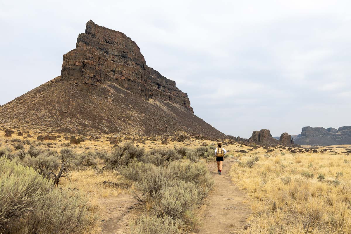
The park itself never closed. Fifteen miles of trails wind through sagebrush and along the canyon rim, and the Umatilla Rock hike is the one worth lacing up for — an easy 3.1-mile loop with about 190 feet of climbing, past Dry Falls Lake and Perch Lake.
Deep Lake and Park Lake cover the swimming and paddling. Camping runs 96 standard sites plus 41 full-hookup RV spots, and there’s a nine-hole golf course tucked into the desert scenery, plus an 18-hole mini golf course for the kids.
A Discover Pass covers day-use parking — $10 for the day, $45 for the year. Skip the separate pass if you’re camping overnight; the site fee already covers it.
Before you go
Steamboat Rock State Park sits 21 miles north if you want to keep chasing the Ice Age flood story, and Lake Lenore Caves are 10 miles south for a short basalt-shelter hike Native peoples once used for shelter. Both pair easily with a longer swing through Eastern Washington if you’re already out this way.
Trip tips: grab a rental car for the drive out to the Columbia Basin, lock in a room in Coulee City or Soap Lake before summer weekends fill up, or skip both and roll in with a camper van instead.
Rules and fees change — always confirm current requirements before you go.