Lake Chelan is 1,486 feet deep, and the best way to see it is a steep climb from downtown
Everyone drives to Lake Chelan for the water. Almost nobody thinks to look at it from above, which is a shame, because the butte behind town turns the whole lake into a postcard. It’s a hard climb, and I’ll say plainly that it’s the best view in town.
The lake plunges to 1,486 feet, which makes it the third deepest in the United States. It also stretches more than 50 miles through a glacier-carved valley, so a view that takes it all in is worth some sweat.
Psst, we made you a West Coast Adventure Map. Nearly 1,900 of our favorite spots, already pinned, ready to load into Google Maps in two clicks: grab it here.
The Chelan Butte climb
The trail starts just south of downtown Chelan, near Chelan Dam, and climbs about four miles to the top of the butte. Plan on roughly 7.5 to 8 miles round trip with somewhere between 2,500 and 2,800 feet of climbing, depending on which source you trust. That’s a hard day, not a stroll.
Most of the route follows an open ridge with very little shade, so the lake stays in view almost the whole way up. The summit sits near radio and TV towers and opens into 360-degree views, and paragliders are often floating around up there.

About two miles up, a spur leads to Elephant Head, a side viewpoint that gives you a lake view and your first look at the Columbia River. If the full climb sounds like too much, that spur makes a shorter turnaround point.
Expect strong wind near the top, so toss a layer in your pack even if town feels warm. There’s no toilet at the trailhead, and the land is managed by the Washington Department of Fish and Wildlife as part of the Chelan Wildlife Area, so check their site for current conditions before you go.
📍 GET THE ULTIMATE PNW MAP 🗺️
Get our curated list of the best adventures, things to do, and places to grab a brew loaded onto your maps with just two clicks!
✅ Waterfalls ✅ Hikes ✅ Viewpoints
✅ Craft breweries ✅ National Parks ✅ 1400+ Pins


The easy way to hang out by the water
Not feeling 2,500 feet of uphill? The Reach 1 Trail follows the Chelan River for 3 miles, starting at the Riverwalk Loop Trail boat launch on the river’s south side. The first half mile is paved and open to everyone, and the lower 1.1 miles turns to gravel along natural riverbanks.

Interpretive signs along the way explain how water travels from the lake to the powerhouse at Chelan Falls, plus a bit about the valley’s tribes, wildlife, and geology. It’s a nice reward walk for the day after the butte.
Save some energy for the lakefront
Once your legs have recovered, the best way to appreciate how big this lake really is might be from a winery patio with a glass in hand. The view over the water from a spot like Tsillan Winery shows off the same blue you just saw from the ridge, just a lot more relaxed.
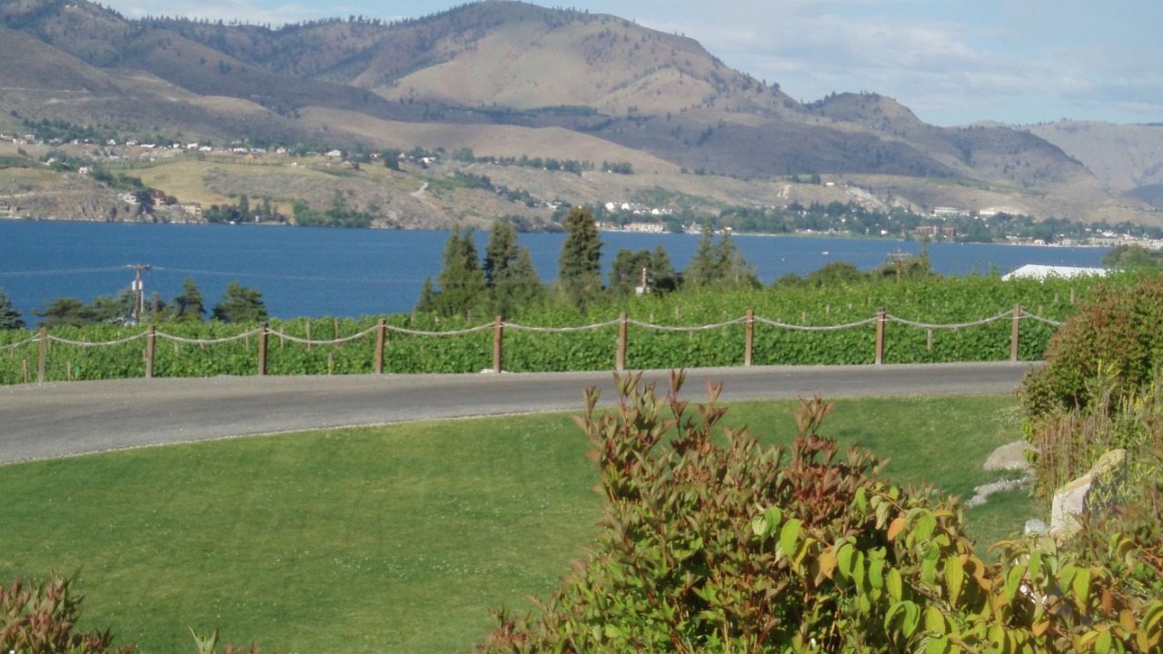
So which sounds like your kind of day: the full summit push, the Elephant Head turnaround, or a riverside walk and a long lunch? Tell us your pick in the comments!
Trip tips: grab a rental car to get out here, lock in your hotel before the good rooms are gone, or skip both and book a camper van instead.